Photo Contest – July 15, 2011
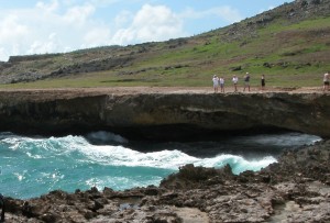
The photo, taken in 2004, is of the natural bridge, one of Aruba’s most popular attractions. The bridge was created through a formation of coral limestone cut out by years of pounding surf. It stood approximately 23 feet above sea level and spanned more than 100 feet. In September of 2005, the bridge collapsed. Fortunately, no one was hurt. The location is still worth visiting, both to see the bridge in it’s collapsed form and also to see a smaller baby bridge located nearby.
Aruba is one of a group of 3 islands referred to as the ABC islands (Aruba, Curacao and Bonaire) of the Leeward Antilles which is the southern island chain of the Lesser Antilles. Aruba is one of the four constituent countries that form the Kingdom of The Netherlands – Curacao, Sint Maarten (the Dutch side of St Martin) and The Netherlands are the other three. Aruban citizens hold Dutch passports.
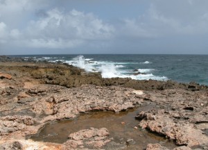
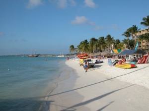
Aruba is 19 miles long and 5 miles wide. It maintains a jagged coast on the windward (northern) side and 7 miles of beautiful sand beaches on the leeward (southern) side.
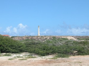
When in Aruba, in addition to the bridge and the beaches, it’s worth taking a drive to the California lighthouse, named for the U.S. ship “the California” which sunk about two years prior to its construction in 1910. It is located near the island’s northwestern tip. From this point, one can view both the smooth beaches and the craggy coastline.


