Photo Contest – September 23, 2011
News for Week of September 25th
NCL Names New Ships
The next two ships from Norwegian Cruise Line will be named Norwegian Breakaway and Norwegian Gateway. Despite the names, there is much to like about these new ships. Like the Norwegain Epic, the new ships will have studio staterooms for singles with a private lounge. They will also have 42 oceanview staterooms that will accomodate 5 passengers so families of 5 won’t have to buy two rooms.
These 4,000 passenger vessels will be delivered in April of 2013 (Breakaway) and April of 2014 (Getaway).
News for Week of September 18th
Ship Fire Kills Two in Norway
An intense fire aboard Hurtigruten Line’s MS Nordyls killed two crewman and forced passengers into lifeboats. The ship was near Aalesund, Norway when an apparant explosion tore through the engine room. In addition to the two deaths, nine crewmen and three rescue workers were injured. There were no injuries among the passsengers. “We were sent up on deck and given our lifevests,” Danielle Passebois-Paya, a French tourist told Norwegian daily Aftenposten. It took only a few minutes after the alarm and we were in the lifeboats” “It was a well-organized evacuation,” she added. “The crew did a really good job. Everything was calm and went smoothly. There was no panic.”
The Nordlys was in danger of capsizing due to the amount of water pumped into her to fight the fires. This is exactly what happened to the French Line’s Normandy at a New York pier during WWII which ended the short career of, what may have been, the most beautiful ship ever built.
Most ships of the Hurtigruten Line ply the craggy western coast of Norway, stopping to deliver mail and cargo to the towns and villiages along the coast. It is a great way to get close to the people of Norway while enjoying spectacular scenery. However, some ships sail to Antarctica and Greenland.
Photo Contest – September 9, 2011
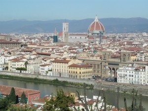
We received over 40 responses to our 9/9/11 photo contest (see photo below). While nearly everyone got the city correct, only 5 responded with the correct answer to the first part of the question, “What is the name of the building?” The winner of the contest is Chuck Greiman of Southampton, PA. Chuck’s name was randomly selected from those who correctly responded.
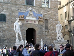
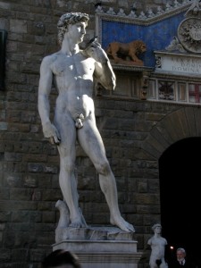
Of course, the city is Florence (Firenze), Italy. The building is the Palazzo Vecchio, Florence’s city/town hall. We accepted “Palazzo Vecchio”, “City Hall” and “Town Hall” as correct answers to this part of the question. Palazzo Vecchio is located in the Piazza della Signoria and it is in front of this building’s entrance that Michelangelo’s David once stood. David was originally commissioned as one of a series of 12 Old Testament sculptures to be positioned along the roofline of the east end of the Basilica of Santa Maria Del Fiore (also known as the Duomo), however once the sculpture was nearing completion, authorities realized the logistical improbability of raising the 6-plus ton statue to the roof of the cathedral. In 1504, after heated debate by a small group Florentine citizens, the statue of David was installed next to the entrance of the town hall, Palazzo Vecchio (known then as “Palazzo della Signoria”).
In 1873, Michelangelo’s David was moved to the Accademia Gallery, allegedly for reasons of conservation, although other factors may have been involved. In addition to David, this gallery houses other works of Michelangelo including some that are unfinished. The history of the artwork housed here is fascinating – it is well worth a visit to this Gallery with a good guide.
In 1910, a replica of Michelangelo’s David (see close-up below) was placed in the same spot that the original once stood – next to the entrance of the Town Hall.
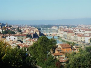
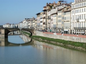
Behold the muted colors and light of Florence….
Photo Contest – August 26, 2011
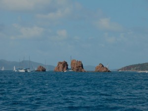
The winner of the 8/26/11 photo contest is Sheila Mandl of North Babylon, NY. Sheila’s name was randomly selected from just 4 who correctly responded to our contest question (what is the name of this grouping of rocks?).
The grouping of rocks in the contest photo (show below) is referred to as “The Indians”, so named for their likeness to an Indian bonnet or headdress when viewed from afar. This series of rocks or rock pinnacles is located just off of Pelican Island in the British Virgin Islands (BVI).
The Indians and Pelican Island are part of a larger complex of islands that lay just across the Francis Drake Channel from Roadtown, the capital of Tortola. Most of the population of the BVIs live on Tortola, a less common but much-appreciated cruise ship port. It is a haven for sailors and a great jumping off point for dive boats, snorkel trips and for excursions to The Baths (Virgin Gorda) because of it’s central location in the BVI chain and it’s proximity to St. John of the US Virgin Islands.
News for Week of August 28th
Irene Disrupts Cruise Line Schedules
Hurrican Irene missed Florida and passed over the Bahamas. Fortunately, Nassau took a glancing blow and damage was not severe. Other than the 3 and 4 day cruises to the Bahamas, schedules for Florida departures had minor changes in the order ports were visited.
There was a serious glitch in San Juan where a Carnival ship and a Royal Caribbean ship were ordered by port authorities to depart several hours early stranding hundreds of passengers in San Juan.
Irene is expected to arrive in the NYC area around 8 AM on Sunday. Holland America brought the Veendam back from Bermuda a day early. Celebrity Cruises kept the Summit in Bermuda for an extra day so it won’t arrive back until Monday.
Let’s hope that Irene gets her ill winds out of here real soon.
News for Week of August 21st
Crystal to Become All Inclusive
Beginning in the spring of 2012, Crystal Cruises will include the following on all cruises: Airfare with transfers, wines and spirits, water and soda, gratuities and two specialty dining experiences. Crystal is following many of the other luxury cruise lines in including these amenities. Except for the free liquor, we applaud these changes. Our concern with including liquor is that it requires non drinkers to subsidize those who use alcohol. It may also encourage folks to overindulge.
Photo Contest – August 12, 2011
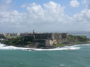
The winner of our photo contest is Bob Mandl of North Babylon, NY. Bob’s name was randomly selected from 29 who correctly responded to our two-part question (name of fort and city that it is located in).
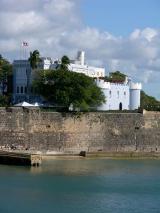
The fort in the contest photo (show below) is commonly known as El Morro and is located in San Juan, Puerto Rico. Castillo San Felipe Del Morro, San Felipe Del Morro Castle and other variations and spellings were also counted as correct answers.
El Morro lies on the northwestern-most point of San Juan. Named in honor or King Phillip II of Spain, the fort was designed to guard the entrance to the San Juan Bay, and defend the city of Old San Juan from seaborne enemies. In 1983, the fort was declared a World Heritage Site by the United Nations.
San Juan
Puerto Rico is 100 miles long and 35 miles wide. Close to 4 million people live on the “Island of Enchantment,” with more than a million of them in the greater San Juan metropolitan area. It is a vibrant, modern, bilingual, multicultural society, one that has been molded by Spanish, African and Native American Tainos with influences from the United States.
Puerto Ricans are U.S. citizens and the United States Congress legislates many aspects of Puerto Rican life. However, the islanders do not vote in U.S. presidential elections. Since 1947, Puerto Ricans have been able to elect their own governor. Its official languages are Spanish and English, with Spanish being the primary language.
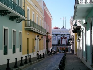
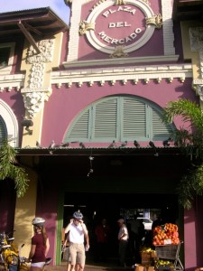
We have spent many days (on a combination of trips) exploring San Juan and most of those days have been focused on the old city where the fort is located. The cobblestone streets and lovely architecture are a photographer’s delight.
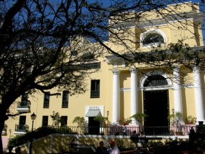
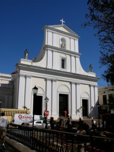
On many evenings, there are free outdoor concerts by the water front (in the old city). In addition to the fort, the old city houses some beautiful churches, the most notable being the Cathedral of San Juan Bautista. While walking through the old city, it is worth visiting El Convento, a converted convent which is now a first-class hotel. While there, take a moment to go up to the 3rd floor for a great view of the city or have a nice cold drink in the courtyard.
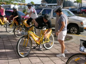
During our last trip to San Juan, we took a bike tour which allowed us to venture beyond the old city into other neighborhoods and visit some “local” sites we might not otherwise have seen.
Photo Contest – July 29, 2011
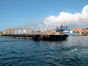
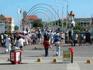
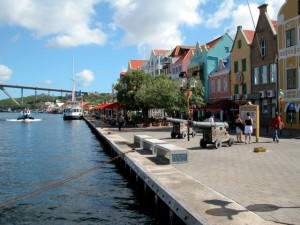
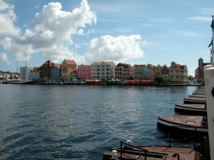
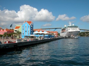
Last week’s winners of our photo contest were Stanley and Evelyn Sobel of Cherry Hill, NJ. The Sobel’s were randomly selected from 11 who correctly identified the bridge in the photo (shown below) as the Queen Emma Bridge located in Curacao.
The bridge is a pontoon bridge that crosses St. Anna Bay in Willemstad, Curacao’s capital city. The bridge connects the Punda and Otrobanda quarters of the city. It is hinged and opens regularly to enable the passage of ocean going vessels. On the opposite end from the hinge is a small shelter where an operator controls two diesel engines turning propellers. The propellers are mounted perpendicular to the length of the bridge and allow it to swing parallel to the shore. The process only takes several minutes to complete.
It’s fun to watch the mad rush of savvy locals and tourists who scurry to make it onto the bridge just before it is about to disconnect from one side of the channel to make way for passing ships.
Curacao is a long, arid, and generally flat island, stretching approximately 40 miles from southeast to northwest, at about the same north-south angles as it’s sister islands in the ABC group (Aruba to the west and Bonaire to the east). The island is about 10 miles at it’s widest point, and the area is about 180 square miles, making it the largest island in the Netherlands Antilles group.
The coastline along the south is irregular, peppered with small bays and inlets, including the spectacular bays and beaches at the west end of the island. The largest bays are located along the central-east and east end of the island, where you’ll find the capital and major port of Willemstad. Most of Curacao’s 130,000 residents live in and around this historic town.
When we cruise, we always try to wake up early enough to watch the ship as it approaches each new port. Willemstad is, by far, one of the most lovely ports to sail into, with it’s richly colored, Dutch style buildings lining the waterfront.
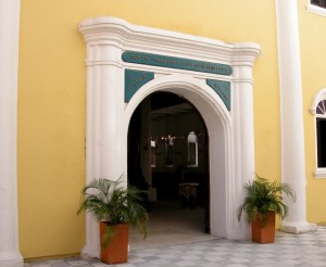
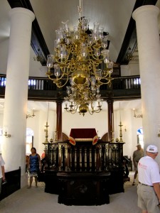
In addition to the shopping, beaches and water sports that are available in many of the Caribbean islands, Curacao houses several museums. We enjoyed our visit to the Jewish Museum, located right in town and very walkable (if you enjoy walking). The museum is part of the Mikvé Israel-Emanuel Synagogue, the oldest in continuous operation in the Western Hemisphere. The museum displays an impressive collection of religious artifacts from the congregation’s history, such as Torah scrolls and Chanukah lamps, as well as antique personal and household items.
Photo Contest – July 15, 2011
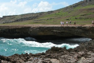
The photo, taken in 2004, is of the natural bridge, one of Aruba’s most popular attractions. The bridge was created through a formation of coral limestone cut out by years of pounding surf. It stood approximately 23 feet above sea level and spanned more than 100 feet. In September of 2005, the bridge collapsed. Fortunately, no one was hurt. The location is still worth visiting, both to see the bridge in it’s collapsed form and also to see a smaller baby bridge located nearby.
Aruba is one of a group of 3 islands referred to as the ABC islands (Aruba, Curacao and Bonaire) of the Leeward Antilles which is the southern island chain of the Lesser Antilles. Aruba is one of the four constituent countries that form the Kingdom of The Netherlands – Curacao, Sint Maarten (the Dutch side of St Martin) and The Netherlands are the other three. Aruban citizens hold Dutch passports.
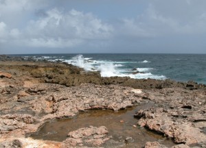
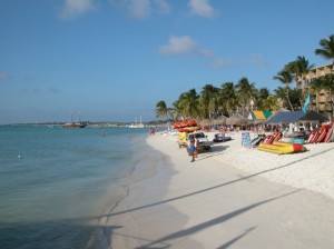
Aruba is 19 miles long and 5 miles wide. It maintains a jagged coast on the windward (northern) side and 7 miles of beautiful sand beaches on the leeward (southern) side.
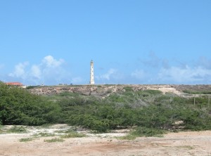
When in Aruba, in addition to the bridge and the beaches, it’s worth taking a drive to the California lighthouse, named for the U.S. ship “the California” which sunk about two years prior to its construction in 1910. It is located near the island’s northwestern tip. From this point, one can view both the smooth beaches and the craggy coastline.

